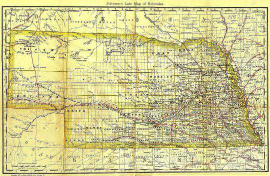
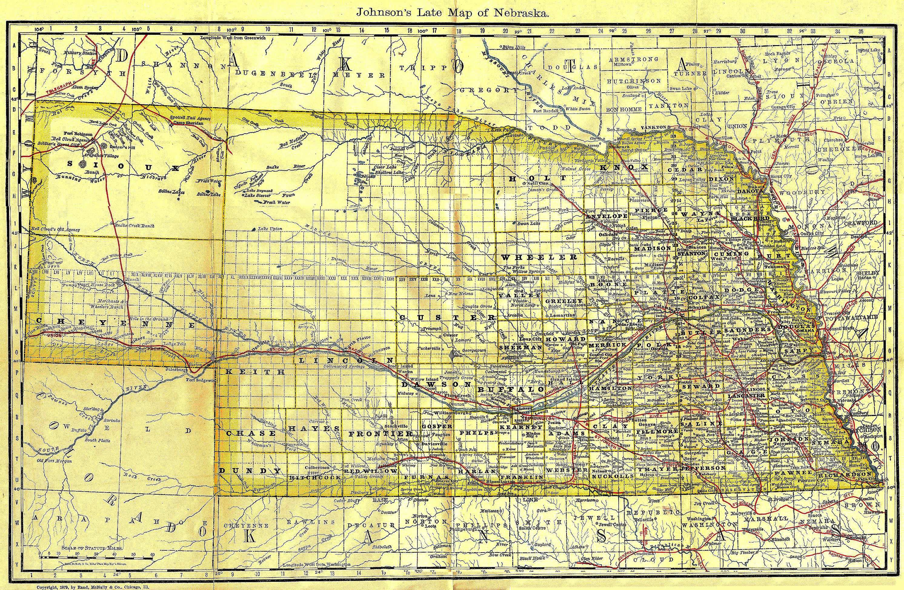
Johnson's Late Map of Nebraska
Showing the Counties, Cities & Towns circa 1879.
Railroad Lines are highlighted in red.
Rivers and many streams are named.
The full size map is some 30 x 40 inches (998.3MB).
If you have the time it's worth a look.

© 1998, 1999, 2000, 2001 for NEGenWeb Project by Pam Rietsch, T&C Miller